Had a conversation with Joe Doyle today, always a pleasure talking with and hearing about what inspired some of his work. I’ve been fortune enough to acquire a few of his Abstract Illusionism pieces with plans to continue.
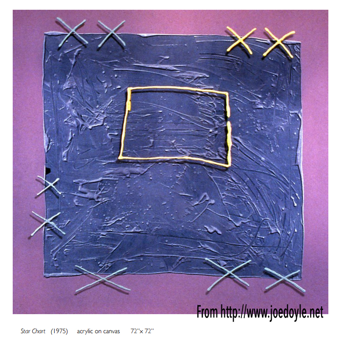
During the conversation we spoke about some of his earliest work, one being “Star Chart” featured in galleries and a number of publications in the late 70’s. Though never specifically written about in any publication I can find, the real inspiration for the piece came from Polynesian navigation charts sometimes referred to as “stick charts”.
Joe Doyle’s “Star Chart” 1975
According to Tegan Mortimer
“These are deceptively simple grids made from small sticks and coconut fronds, which represent the major ocean swells in the South Pacific, with small shells showing the location of islands. The charts showed how the swells interacted with the island shores, the undersea slopes, and currents coming from different directions. While the stick maps were easy to construct, it took many years of study to be able to accurately interpret the real ocean dynamics which they represented.”
Here’s an example stick chart.

By S. Percy Smith – http://www.nzetc.org, Public Domain, Link
Leave a Reply